
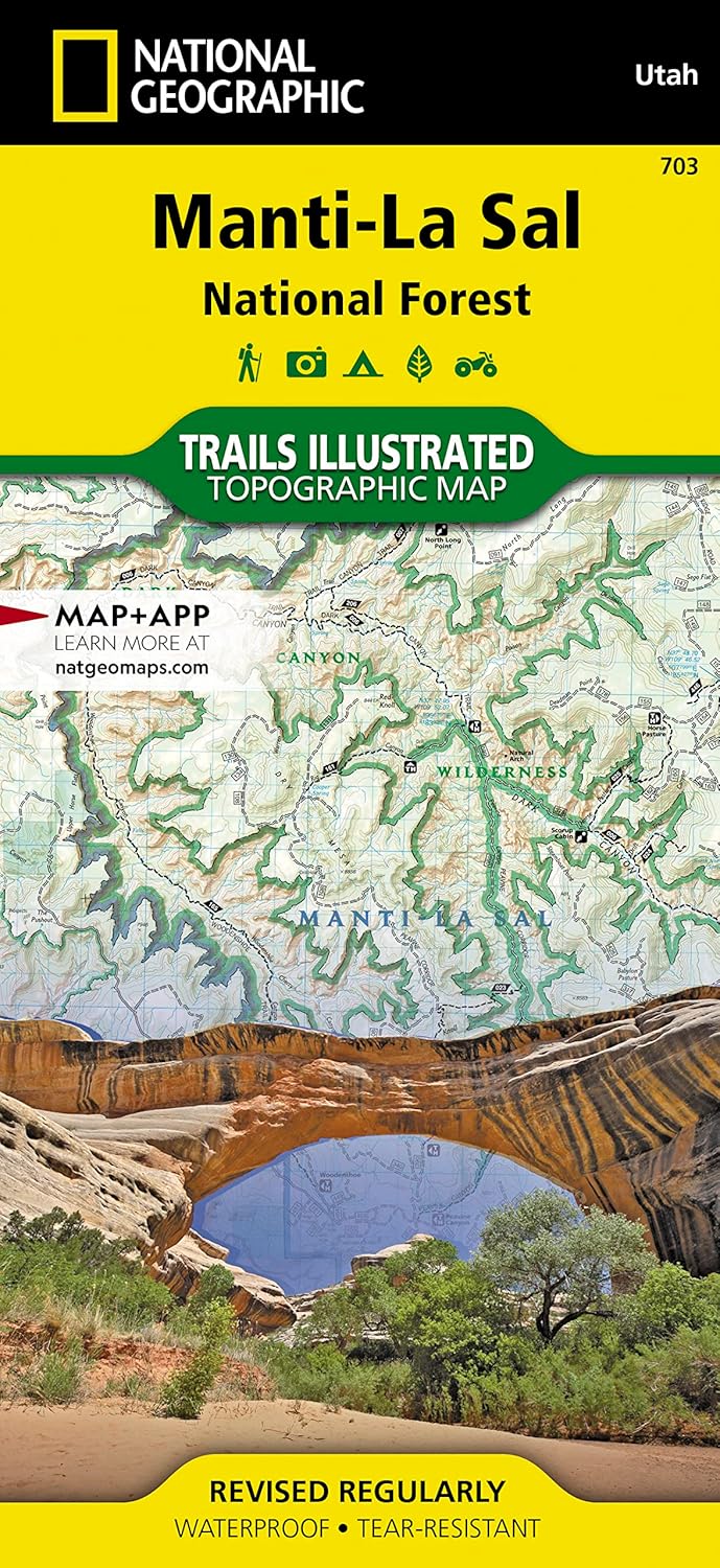
Manti-La Sal National Forest Map (National Geographic Trails Illustrated Map, 703)
Product details
| Management number | 236918917 | Release Date | 2026/07/10 | List Price | US$5.25 | Model Number | 236918917 | ||
|---|---|---|---|---|---|---|---|---|---|
| Category | |||||||||
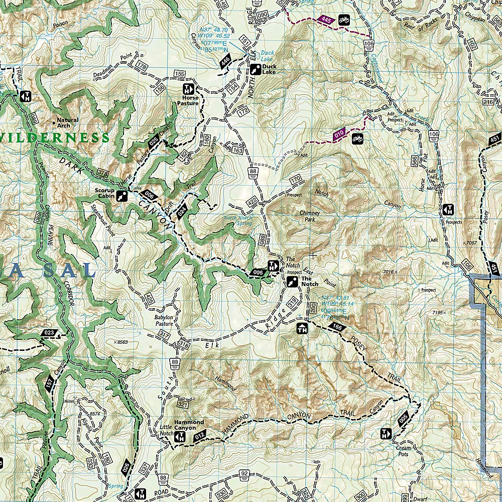
• Waterproof • Tear-Resistant • Topographic MapExpertly researched and created in cooperation with the U.S. Forest Service, Bureau of Land Management and others, National Geographic's Trails Illustrated map of Manti-La Sal National Forest provides unmatched detail of the discontiguous Moab and Monticello Ranger District areas of the forest. The map covers map popular points of interest, including Dark Canyon Wilderness, Natural Bridges National Monument, Blue Mountains and Cheesebox Canyon.Outdoor enthusiasts will be able to get off the beaten track and back on again by following the map to clearly marked trailheads and then along precisely mapped trails, labeled either for hiking, motorcycle or ATV use, including The Kokopelli Trail. Trails in the Moab Ranger District also have mileage indicators. To assist in your navigation of the area, the map shows contour lines, elevations, labeled peaks, water features, selected waypoints and numbered Forest Service roads. Recreation features include areas for camping, boat launching, water skiing and fishing. The Unaweep-Tabeguache, Bicentennial and Trail of the Ancients Scenic Byways are also all marked.Every Trails Illustrated map is printed on "Backcountry Tough" waterproof, tear-resistant paper. A full UTM grid is printed on the map to aid with GPS navigation.Other features found on this map include: Abajo Mountains, Abajo Peak, Bears Ears, Canyonlands National Park, Dark Canyon Wilderness, Glen Canyon National Recreation Area, Grand Gulch Plateau, La Sal Mountains, Manti-La Sal National Forest, Mount Peale, Paradox Valley.Map Scale = 1:70,000Sheet Size = 37.75" x 25.5"Folded Size = 4.25" x 9.25" Read more
| ISBN10 | 1566953774 |
|---|---|
| ISBN13 | 978-1566953771 |
| Edition | 2023rd |
| Language | English |
| Publisher | Natl Geographic Society Maps |
| Dimensions | 4.2 x 0.4 x 9 inches |
| Item Weight | 3.21 ounces |
| Print length | 2 pages |
| Publication date | January 1, 2023 |


Bestseller ranking
Animal Welfare Teen & Young Adult Books

Customers who viewed this product also viewed
Mountain



Correction of product information
If you notice any omissions or errors in the product information on this page, please use the correction request form below.
Correction Request Form